Your cart is currently empty!
Powerful Range, Elevated Precision.
Industries
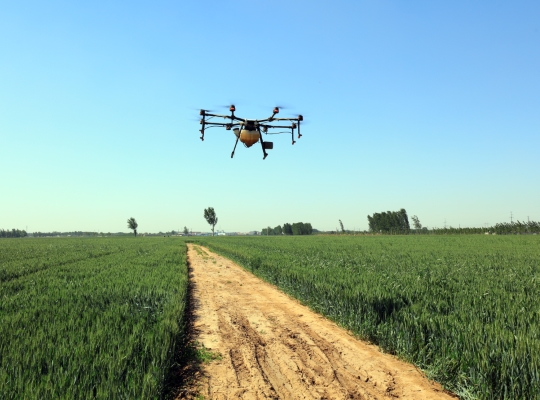
Agriculture
In the new era of precision farming, drones are acting as an essential technology that will take farming to a completely new level. They are a cost-effective way to collect data about various crop conditions in a relatively short period of time. The use of drones in agriculture have shown great potential in the ability to improve yield, crop quality, provide sustainable farming, and increase overall profitability through decreased operational costs.
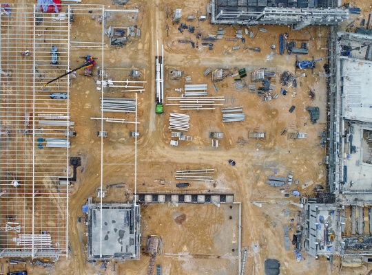
Construction
Drones are changing the way construction companies operate — helping them track progress more frequently, coordinating with clients more efficiently, and allowing them to complete projects quicker with reduced waste.
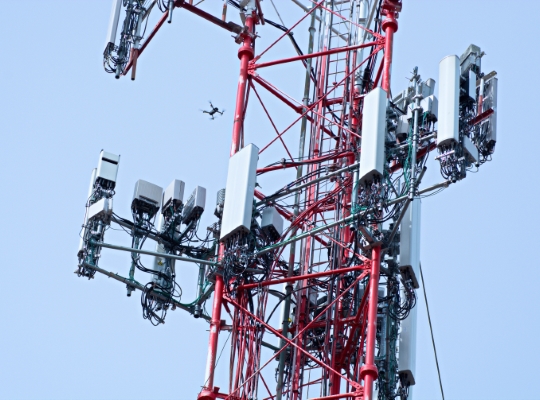
Inspection
Modern drone technology enables the ability to more quickly capture higher quality data and perform routine inspections of bridges, dams, telecommunication structures, powerlines, and other infrastructure, without exposing personnel to unnecessary hazards and unsafe work conditions.
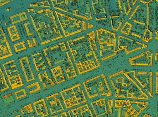
Mapping & Survey
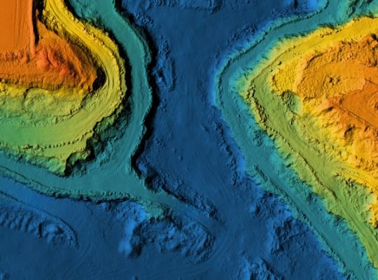
Mapping drones have been our specialty since our founding. With a variety of technological advancements such as onboard RTK, better camera quality, and longer battery life, drones are now being considered a valuable tool and a time saving measure. Create topography maps, elevation maps, volume measurements, 2D and 3D models, and so much more.
Mining
At a high level, drones utilized in mining improve overall efficiency by providing fast, accurate, and comprehensive data detailing site conditions. Additionally, they also support better team coordination and safety by providing dynamic operation oversight without requiring workers to enter potentially hazardous environments.
Public Safety / Forensics
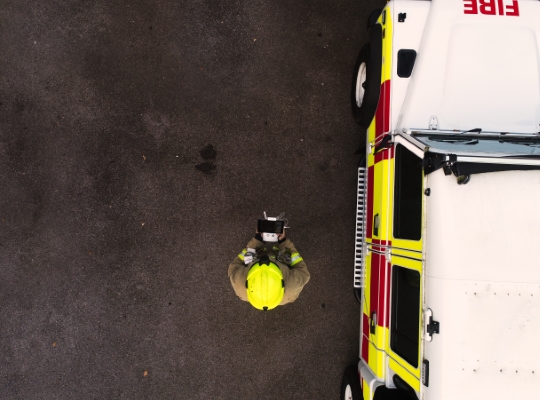
Drones assist police officers, firefighters, as well as search and rescue teams, by allowing them access to time sensitive intelligence while ensuring their own safety. With a variety of payloads available, accident reconstruction and forensic analysis can be performed faster while capturing high quality data.
![[DEV] Seiler GeoDrones](https://dev.seilergeodrones.com/wp-content/uploads/sites/10/2022/04/GeoDrones_Logo_Blue_Trimmed_300px.png)