Your cart is currently empty!
Powerful Range, Elevated Precision.
Mapping & Survey
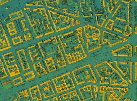
Drones are quickly changing the ways mapping and surveying is done. Accuracy has been a long time limitation when looking to implement drones for this field of work. With a variety of technological advancements such as onboard RTK, better camera quality, and longer battery life, they are finally being considered a valuable tool and a time saving measure.
Drones can be used to make topography maps, contour elevation maps, volume measurements, both 2D and 3D models, and much more. There are several benefits to using drones in this line of work such as decreased time in the field and in the post processing, help keep workers out of potentially dangerous environments, and improved accuracy.
Photogrammetry has been around for over 150 years and has played a valuable role in mapping and land surveying but can have certain limitations with regards to dense vegetation or tree covered environments. With Light Detection and Ranging, better known as LiDAR, drones can better assist in high vegetation areas. What used to require traditional surveying can now be done with LiDAR equipped drones.
Mapping drones have been our specialty since our founding. There are a lot of variables that are essential to a good mapping platform. Seiler GeoDrones has the experience to help our customers make the right choices from the start to avoid costly missteps in choosing the wrong platform or sensors.
Related Products
-
 DJI Mavic 3 Enterprise$3,628.00
 -
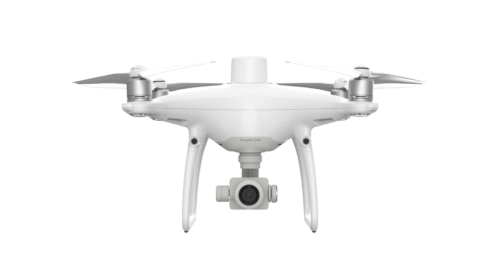 DJI Phantom 4 RTK
 -
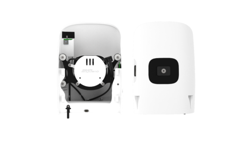 Quantum Systems F90+ Payload – Sony UMC-R10C$2,640.00
 -
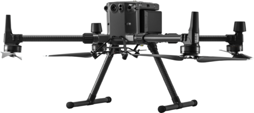 DJI Matrice 300 RTK
 -
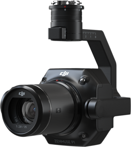 DJI Zenmuse P1 Camera$6,800.00
 -
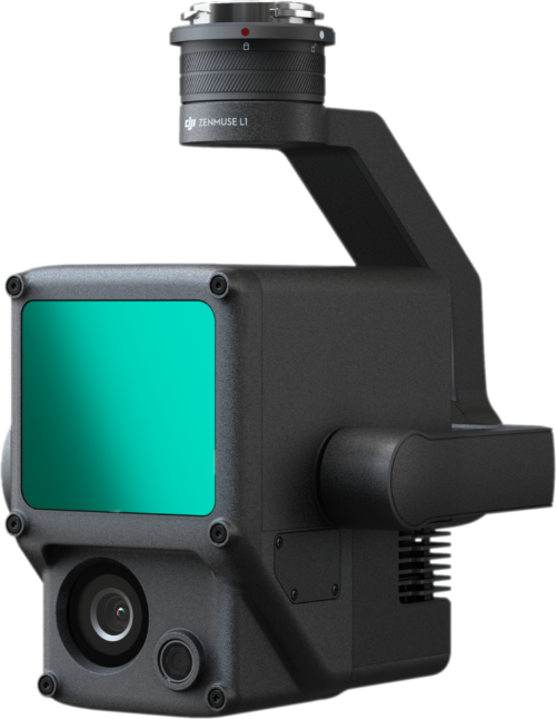 DJI Zenmuse L1 LiDAR System$9,800.00
 -
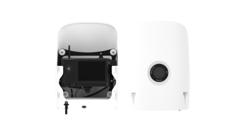 Quantum Systems F90+ Payload – Sony RX1R II$6,450.00
 -
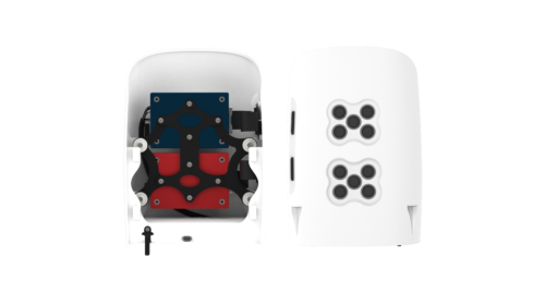 Quantum Systems F90+ Payload – MicaSense Dual RedEdge-MX (Red and Blue)$12,888.00
 -
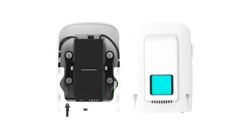 Quantum Systems F90+ Payload – Qube 240 LiDAR$57,500.00
 -
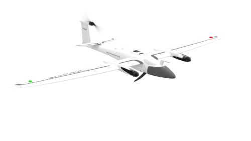 Quantum Systems Trinity F90+$18,300.00
![[DEV] Seiler GeoDrones](https://dev.seilergeodrones.com/wp-content/uploads/sites/10/2022/04/GeoDrones_Logo_Blue_Trimmed_300px.png)